


4.5 out of 5

National Geographic 603312 Appalachian Trail: Calf Mountain To Raven Rock No.1505
* Click "Add to Shopping List" to save the item for later purchase. You can receive a notice email when it is back in stock.
Product Description
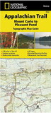
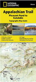
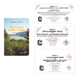
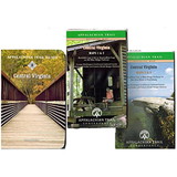
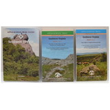
The Calf Mountain to Raven Rock Topographic Map Guide makes a perfect traveling companion when traversing the northern Virginia section of the Appalachian Trail (A.T.). The map covers the area between the southern tip of Shenandoah National Park and the Maryland-Pennsylvania state line and gives hikers an excellent opportunity to experience the Blue Ridge Mountains while still remaining relatively close to towns and highways.
The map and trail profile provide a step by step visual guide to hiking the trail, mile by rugged mile. The Topographic Map Guide is built for all levels of hiking enthusiasts, from the day tripper to the multi month 'thru-hiker'. The front pages of the printed Topographic Map Guide include resupply information, town inset maps, camping options, and much more.
Other features found on this map include: Ashby Gap, ATC Headquarters and Visitor Center, Bearfence Shelter, Black Rock, Blackburn Trail Center Shelter, Blackrock Shelter, Bluemont, Boonsboro, Byrds Nest #3 Shelter, Calf Mtn, Calf Mtn Shelter, Charles Town, Cowall Shelter, Crampton Gap Shelter, David Lesser Shelter, Dicks Dome Shelter, Ed Garvey Shelter, Gathland State Park, Gravel Springs Shelter, Greenbrier State Park, Harpers Ferry, Harpers Ferry National Historic Park, Hightop Shelter, Jim and Molly Denton Shelter, Linden, Manassas Gap Shelter, Pass Mountain Shelter, Pen Mar, Pine Knob Shelter, Pinefield Shelter, Raven Rock, Raven Rock Shelter, Rock Spring Shelter, Rockfish Gap, Rocky Run Shelter, Rod Hollow Shelter, Sam Moore Shelter, Shenandoah National Park, Sky Meadows State Park, Snickers Gap, South Mtn State Park, Stony Man, Tom Floyd Wayside Shelter, Turners Gap, Waynesboro.
 Attention CA Residents: Prop 65 Warning
WARNING:
This product can expose you to chemicals which are known to the State of California to cause cancer, birth defects, or other reproductive harm. For more information, go to www.p65warnings.ca.gov.
Need more information?
Our staff are available to answer any questions you may have about this item
Our staff are available to answer any questions you may have about this item
Customer Reviews
By MR. B
Date: February 23, 2018
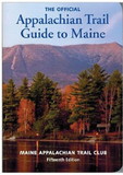
These are the next best thing to ATC guide book series, but lighter and at a fraction of the cost. I'd still use the guidebooks for hikes of a week or more. They are cock full of info. These maps have given me many days of great backpacking overnighters.
Rating:  [5 of 5 Stars!]
[5 of 5 Stars!]
By gjjmss
Date: September 18, 2017
Nice item
Rating: [5 of 5 Stars!]
[5 of 5 Stars!]
By Stephen E. Edwards
Date: September 16, 2017
Update: I just reordered this map. The second one came and is great. It's what I was looking for, a simple way to track where we are. We're going south, so we can start at the last page and track our progress going south by flipping forward. Thanks! I love the National Geographic maps. However, when this one arrived, the booklet wasn't printed correctly. It was actually missing three maps in MD which I plan on hiking. A few others were out of order. Is it possible that I can reorder this and get one that's printed correctly?
Rating: [5 of 5 Stars!]
[5 of 5 Stars!]
By A Customer
Date: July 19, 2017
Expected a full map I could fold out to see the big picture instead of chopped up section on 2 pages I already had that in the books about the trail
Rating:  [1 of 5 Stars!]
[1 of 5 Stars!]
By wlg
Date: June 15, 2017
Too little detail, few of the blue blaze and other trails are shown, it's definitely NOT the quality of other NatGeo AT trail maps.
Rating:  [2 of 5 Stars!]
[2 of 5 Stars!]
By A Customer
Date: June 12, 2017
Great map for the AT.
Rating: [5 of 5 Stars!]
[5 of 5 Stars!]