


0 reviews
Be the first to review this item!

Governor Percival P. Baxter so enjoyed vacationing in the Maine woods as a child, he purchased nearly 6,000 acres of land in 1930 to fulfill his dream of creating a park. The park that bears his name now covers 209,501 acres and includes Mount Katahdin, Maine's highest peak. National Geographic's Trails Illustrated map of Baxter State Park combines unmatched detail with helpful information to offer an invaluable tool for making the most of your visit. Expertly researched and created in partnership with local land management agencies, this map features key points of interest including Katahdin Iron Works, Borestone Mountain, Trout Brook Farm, and South Branch Pond.
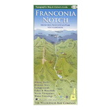
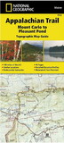
The map base includes contour lines and elevations for summits, passes and many lakes. Some of the recreation features noted include campgrounds, trailheads, interpretive trails, picnic areas, rental cabins, boating access, and canoe carry down points.
Other features found on this map include: Mount Katahdin, Pemadumcook Lake, Sebec Lake, Traveler Mountain, White Cap Mountain.
 Attention CA Residents: Prop 65 Warning
WARNING:
This product can expose you to chemicals which are known to the State of California to cause cancer, birth defects, or other reproductive harm. For more information, go to www.p65warnings.ca.gov.